Multi-windows function
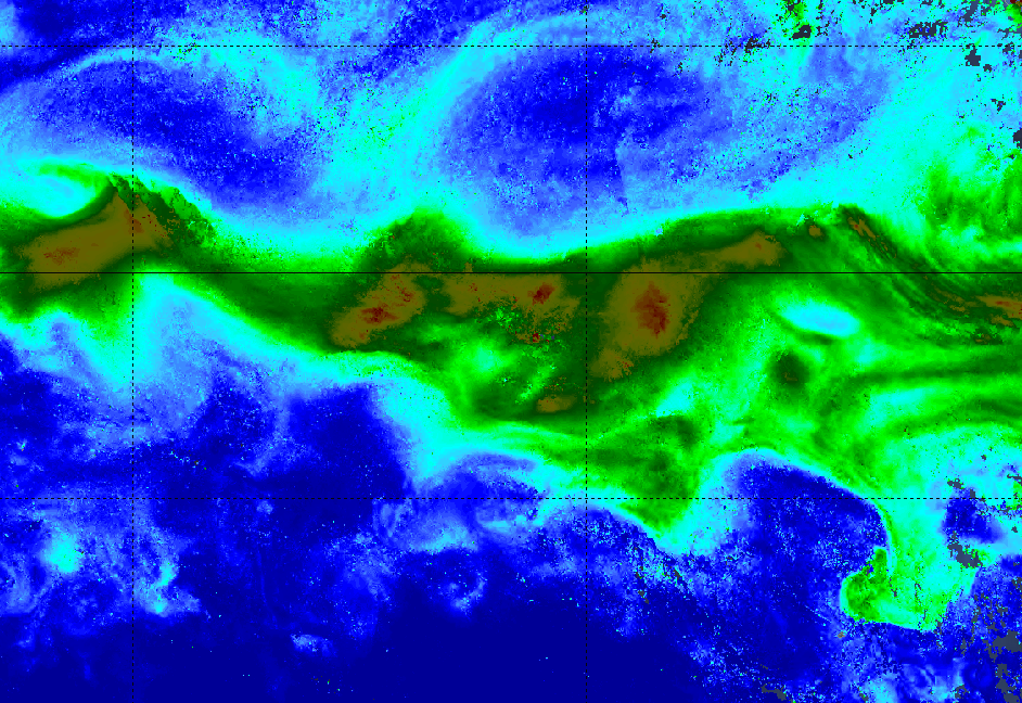
Plankton concentration
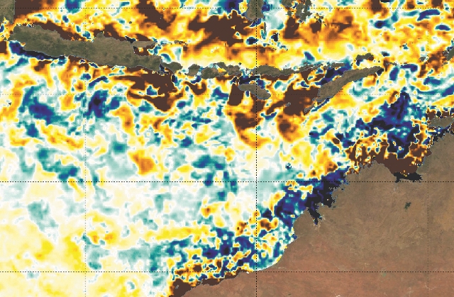
Gradient function
Plankton is preyed on by small pelagics that bigger pelagic species prey on. CATSAT provides day-to-day high resolution plankton maps effectively guiding fishermen to large pelagic feeding grounds.
- Highest definition plankton maps on the market
- State-of-the-art satellite ocean color measurement, showing the day by day evolution of chlorophyll A
- Movie mode: Track the plankton drift caused by oceanographic currents
- Combine plankton data with our high quality altimetry and current data on screen to obtain an even more precise picture of where fish are likely to be thanks to a multi-window function
- Highlight favourable fishing areas using the multi-criteria filter, which automatically analyzes oceanographic data and identifies fishing grounds based on the captain experience
- Identify how the plankton concentration is evolving by mapping the variations through time with the exclusive gradient tool
you will use CATSAT maps to navigate directly to the closest productive and potential areas.
- Optimize your fishing campaign by quickly identifying favorable fishing areas
- Increase your efficiency by reducing the operational costs and the environmental impact
- Understand the ocean dynamics and take the maximum advantage of the information and tools provided by CATSAT


