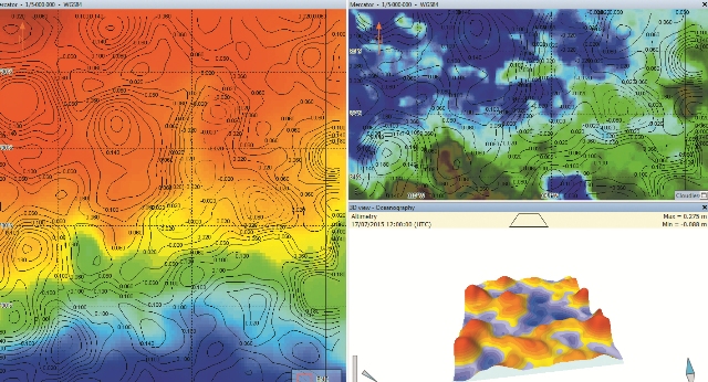
Multi-windows function
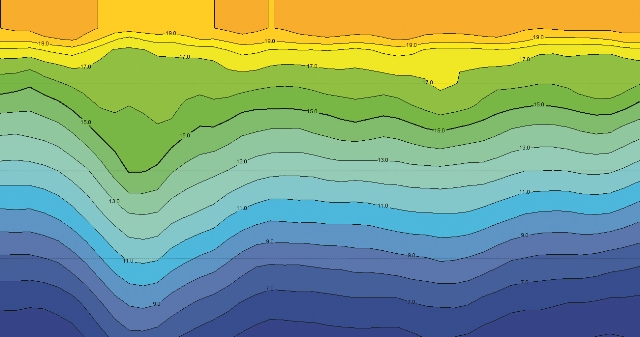
Profile view
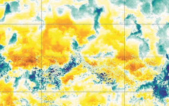
Gradient function
CATSAT’s daily high resolution Sea Surface Temperature (SST) maps help fishermen detect areas with temperature ranges preferable to their species of interest.
- Highest definition sea temperature maps on the market
- Sub-surface temperature down to sea bottom and thermocline help to identify vertical fronts which can be a physical barrier for some fish species
- Climatology based on 20 years of data designed for use with the gradient tool to easily identify how the temperature is evolving.
- Identify ocean structures by combining temperature , altimetry and current data with the multi-windows tool for an even more precise picture of the fishing grounds
- Highlight favourable fishing areas using the multi-criteria filter which automatically analyzes oceanographic data and identifies fishing grounds based on the captains experience
- Choose the best layer for your fishing gear by displaying the water column overview with the profile tool.
You will use CATSAT maps to navigate directly to the closest productive and potential areas.
- Optimize your fishing campaign by quickly identifying favorable fishing areas
- Increase your efficiency by reducing the operational costs and the environmental impact
- Understand the ocean dynamics and take the maximum advantage of the information and tools provided by CATSAT


