Understand the Ocean Dynamics
With CATSAT’s Sea Level Anomaly Data
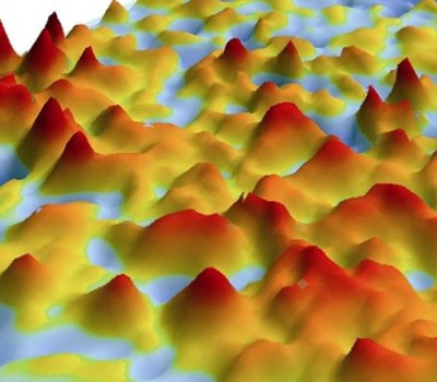
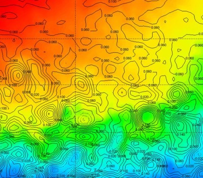
CATSAT’s high resolution altimetry (SLA) makes it possible to identify eddies and frontal areas between different water masses and ocean structures, where fish are most likely to be.
- Highest definition altimetry map on the market
- Movie mode
- 3D visualization

Look for the right temperature areas
With CATSAT’s Sea Surface Temperature Data
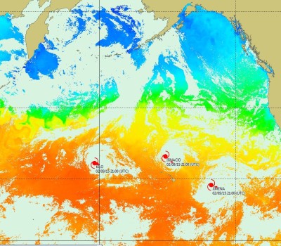
CATSAT’s daily high resolution Sea Surface Temperature (SST) maps help fishermen detect areas with temperature ranges preferable to their species of interest.
- Highest definition sea temperature maps
- Sub-surface temperature down to sea bottom and thermocline
- Climatology based on last 20 years measurements

Track the plankton drift
With CATSAT’s Plankton Data
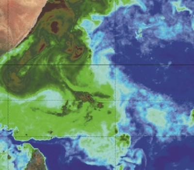
Plankton is preyed on by small pelagics that bigger pelagic species prey on. CATSAT provides day-to-day high resolution plankton maps effectively guiding fishermen to large pelagic feeding grounds.
- Highest definition plankton maps
- State-of-the-art satellite ocean color measurement
- Movie mode

Secure your fishing campaigns
With weather information
Use CATSAT data to guide your fishing strategies, increase the safety of operations at sea and ensure the long-term viability of the fisheries sector.
- Highest frequency meteorological maps
- Typhoons and cyclones alerts with forecast and position
- Weather maps forecast up to 7 days
