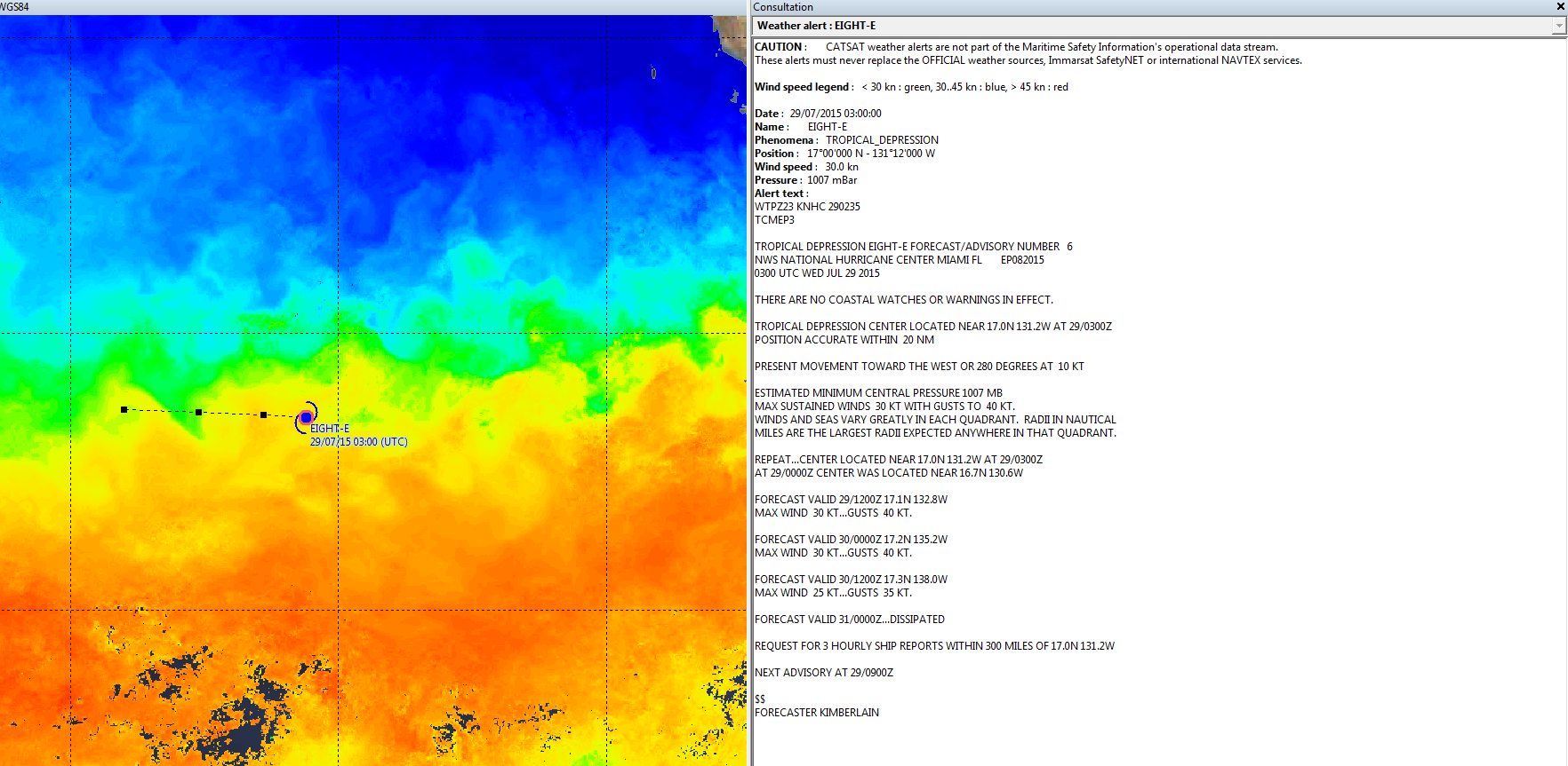
Cyclone tracks and forecasts
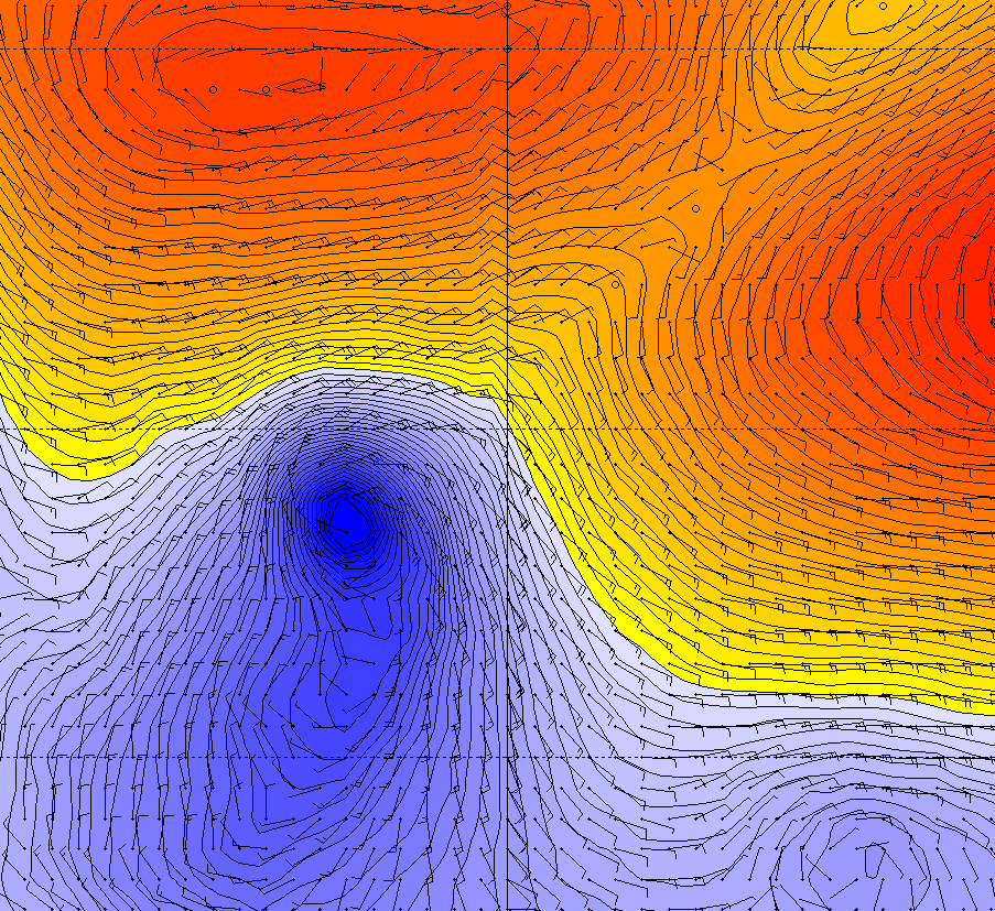
Wind data
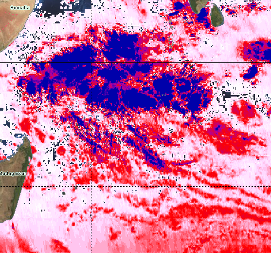
Cloud coverage
Use CATSAT data to guide your fishing strategies, increase the safety of operations at sea and ensure the long-term viability of the fisheries sector.
- High frequency meteorological maps
- Typhoons and cyclones Alerts with forecast and position
- A complete set of weather maps* including precise winds, pressure, cloud coverage, waves and swell. Forecasts up to 7 days
* Official information are provided by GMDSS
- Be safe by tracking all active cyclones thanks to real-time bulletins
- Secure your fishing trips by avoiding critical areas where winds and storms are too important
- Quality weather data aids in understanding and forecasting ocean evolution for the coming days
Combined with your fishing knowledge, you will use CATSAT maps to navigate directly to enhance the safety of your fishing crew.
- Optimize your fishing campaign by quickly identifying favorable area
- Increase your efficiency by reducing the risks of fishing on meteorological red-alert zone
- Analyze the weather conditions, understand the ocean dynamics and take the maximum advantage of the information and tools provided by CATSAT


